|

The morning light on the water from our verandah...

The tourist pavilion did not open until 7:30, but we were out
there early and at about 7:20, a young man came around with a
sign looking for us. He drove us to the actual rental office.


Dean received some instructions, but instead of just heading out
into the traffic on the main street up to the World Heritage site,
we crossed the street into a less traveled, neighborhood road
to do a little getting used to the vehicle. Then we were on our
way the 20 or so miles to the World Heritage Site. Traffic was
light, and in general, drivers were polite.

This World Heritage Site is called Taputapu'atea and is significant
because this is where the Polynesian wayfarers left from on their
2000-mile journey north to Hawaii. This rock points due north.

We picked up a brochure to guide us around the site.

While the brochure was relatively brief, it mentioned that there
had been human sacrifices here.

This was not marked on the brochure, but it appeared to be a gravesite
or a memorial site.


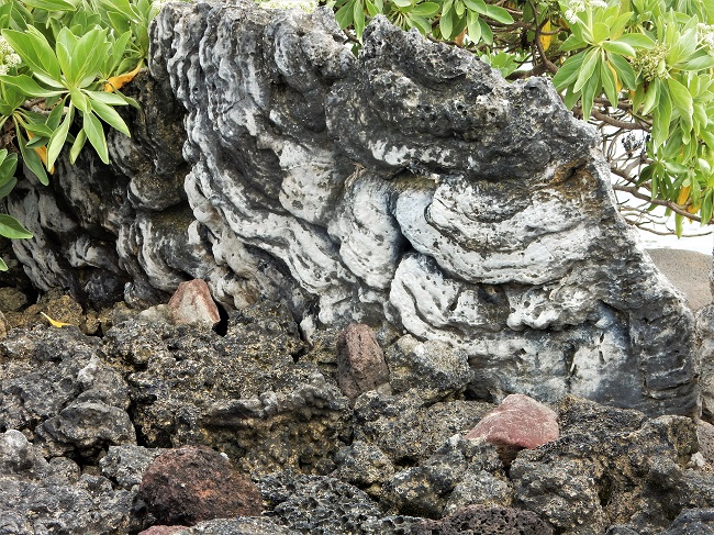
Some of the stone structures were huge, but in between, Nature
was carrying on in small ways such as ghost crabs digging their
burrows in the sandy soil.

This area was the landing and launching beach for the Wayfarers.

This was the wall end of the largest structure on the site.
 
This is the other side of the largest rock structure on the site,
which was adorned with a number of branches that had been covered
with mussel shells nailed to them and three Polynesian totems
leaning against the the largest of the background rocks.
 
There was a trail to a series of overlooks on the hill next to
the site. Of course, we climbed it.

The trail did not enter the inviting arches of the hibiscus shrubs.

There were some wooden platforms with stairs along the trail.

The tour buses arrived after we'd started to climb the mountain.
We loved that we'd had the whole site to ourselves earlier in
the day.
 

This view encompasses most of the heritage site.

Out on a coral reef just off shore, this looks like it could be
a dive and snorkel center.
 
A nice bay as viewed from the top of the mountain. Then we headed
back down the trail. The soil on the trail was very sticky clay,
so we kept scraping it off our shoes. We got to the visitors center,
which was filled with dozens of our shipmates, and mounted our
motor scooter and left the parking lot as gracefully as we could.

We stopped to make some adjustments a few minutes down the road
and saw these school kids getting ready to cross the road.

How cute!
 
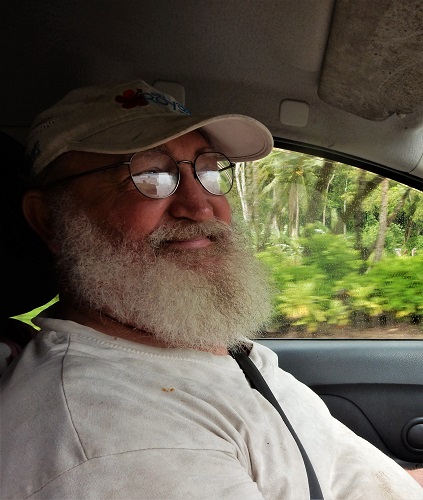
We stopped a little later in a wide spot on the road where there
was a fruit stand and had a kid there take our picture. I was
holding the brake because Dean was busy showing him how to use
the camera. We turned in the scooter and got a ride back to the
dock area. It was time for a cold shower and some lunch!!

As we sailed away, it was a long, slow path along the inside of
the coral reefs. As we came along the small island, we could see
a slightly deeper channel right next to it which explained why
so many small boats ran so close to it over the 2 days we were
there.

We would have four sea days and lose a day as
we crossed the International dateline: we lost Sat. Jan. 28th.
The next port was Tonga.
|